Geospatial
Intelligence
Services

SURVEYING | ARCHITECTURE | GIS | MAPPING | LAND MANAGEMENT

ABOUT US

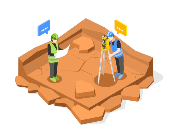
Namib Geomatics Technologies (NGT) is a 100% Namibian-owned consulting firm founded in 2011. We specialize in Mapping, GIS, Surveying, Architecture, Civil Engineering, Quantity Surveying, Land Management, Environmental Planning, and Application Development. Our operations span both local and international markets, delivering actionable insights that power sustainable development.

OUR VISION

To be the leading provider of integrated geospatial, architectural, engineering, and surveying solutions that drive sustainable development across Africa and beyond.

OUR MISSION

To empower communities, businesses, and governments through innovative, data-driven solutions in geospatial technologies, urban development, architecture, civil engineering, and quantity surveying, while upholding the highest standards of quality, integrity, and social impact

What We DO

Geospatial Intelligence Services

  1. Review and evaluation of emerging GIS Technologies and Markets.
  2. Research and development of cost-efective technical solutions to environmental problems.
  3. Pilot projects to test technical solutions.
  4. Clearing house and outreach solution for geographic information technology.
  5. GIS methods development for decision makers Coordination with government, private, and non-proft sectors on GIS programs.
  6. Collaboration with existing GIS outreach program.

Surveying, Architecture, Engineering, and Mapping

  1. Cadastral, Engineering, Topographic, Qauntity and Land Surveys.
  2. Architectural Design and Documentation.
  3. Civil Engineering Planning and Design.
  4. Infrastructure management and Cost Management.
  5. Land Management and Land Administration.
  6. Property Rights and Sectional Title Surveys.
  7. Production of Thematic Maps, Cartography and Digital Map Revisions

Remote Sensing and Aerial Services

  1. Aerial Photography and Satellite Imagery.
  2. UAV (Drone) Surveys
  3. Digital Elevation Models (DEM) and Terrain Models (DOrthophoto Generation and Orthorectifcation
  4. Lidar Data Processing and Remote Sensing Services
  5. Photogrammetry and Aerial Triangulation
  6. Contour Generation and Mosaic Creation

Environmental Management and Urban Planning

  1. Environmental Impact Assessments (EIA)
  2. Transport Planning, Modelling, and Needs Analysis
  3. Alternatives Analysis and Township Development
  4. Location-Based Marketing and Economic Analysis Tools
  5. Health, Safety, and Environment (HSE) Planning
  6. Smart Cities Planning and Socio-Economic Studies
  7. Feasibility Studies and Land Strategic Planning

Digital Transformation and IT Solutions

  1. GIS Software and App Development, Web GIS, Cloud Computing,
    System Architecture Design and Data Management
  2. Large Scale Data Conversion and Digital Archiving
  3. Feature Extraction, GIS Training, and Vectorization

Specialized Consulting and Project Management

  1. Risk Management and Project Monitoring
  2. Operation and Maintenance Support
  3. Mining and Geology Site Suitability Analysis
  4. Geochemical Sampling and Desktop Studies
  5. Location-Based Marketing and Spatial Analytics
  6. Customized Cartographic Databases
  7. 3D Visualization, Modelling, and Data Interpretation
  8. Spatial Planning for Urban and Rural Development

Our Contribution to Sustainable Development

NGT plays an integral role in achieving Sustainable Development Goals (SDGs) by delivering services that:
1. Support Sustainable Cities and Communities through smart urban planning
2. Promote Climate Action via environmental impact assessments and remote sensing
3. Drive Economic Growth through surveying, architecture, and land management
4. Foster Innovation and Infrastructure development with cutting-edge GIS and civil engineering solutions
5. Ensure Responsible Land Use and Natural Resource Management Through geospatial intelligence, surveying, and integrated urban development, NGT is dedicated to building resilient infrastructures, fostering sustainable cities, and ensuring a prosperous future for all.

Competitive Advantages

Experience: Over a decade of expertise across multiple sectors.
Innovation: Pioneering GIS, architectural, engineering, and surveying technologies.
Customization: Tailored and scalable solutions.
Sustainability: Alignment with SDGs and long-term growth models.
Integrity: Fully independent consultancy services.
Social Impact: Active CSR initiatives supporting mental health, education, and environmental projects.

Industries We Serve

Why Choose Us

At Namib Geomatics Technologies (NGT), we combine over a decade of specialized expertise in surveying, architecture, GIS, mapping, and land management to deliver integrated, client-focused solutions. We are future-driven, embracing digital innovation, smart urban development, and sustainable infrastructure to meet evolving industry needs. Our commitment to excellence, customization, and social responsibility ensures that every project supports economic growth, environmental stewardship, and community empowerment. Partner with NGT 4 where technology, vision, and sustainable development meet.

Contact Us Today